
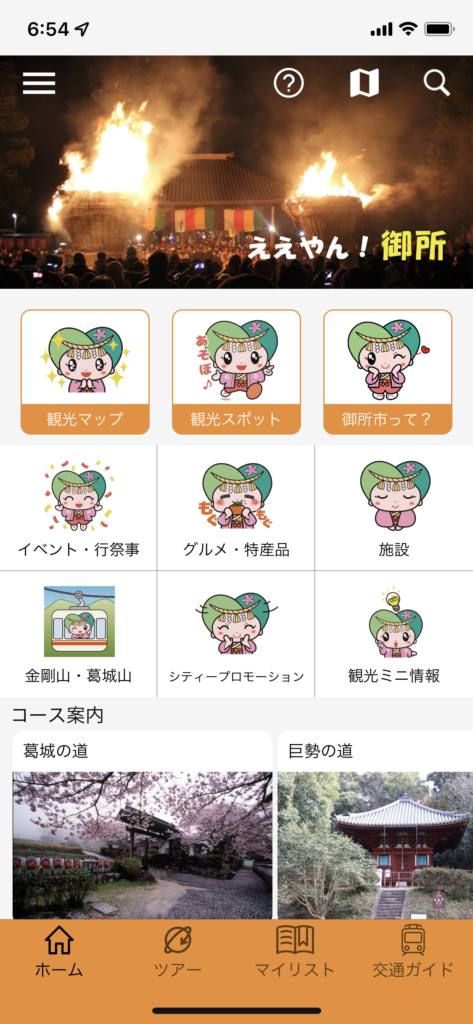
Smart Phone Application: Gose City Sightseeing Navi (available in Japanese)
We have been working with the Gose City Municipal Office to develop an application that allows users to enjoy traveling around the kofuns, temples, shrines, and beautiful nature of City of Gose with offline hiking features.
Features (unique specifications of Gose City Tourist Navi)
- Utilization of the Nara Kofun & Heritage Tours: Utilizing the features of the kofun travel app developed for our previously developed smartphone app, we developed City of Gose own sightseeing application.
- Joint development with Gose City Municipal Office: The application was developed jointly by Gose City Municipal Office and the Foundation, and all contents were provided by Gose City Municipal Office.
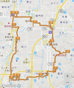
- Navigation of Gose City’s walking/hiking courses: hiking courses included on the Gose City’s website are available for self-guided tours on the app.
- Incorporating our hiking course app: We developed the app feature that allows users to navigate hiking courses that are shown on Gose City’s website so that they can self-tour.
Development project
Started joint development project (started Mar 29, 2021)
The tourism app “Gose City Sightseeing Navi” was released on Apple/Google stores (started distribution on December 11, 2021)
Planning a migration to a web application (Scheduled for release in 2026).


App Function on Smart Phone: Hiking Course App
In mountainous areas and depopulated areas, cell phone reception is often poor, and most map applications may have problems displaying the map correctly in the field. Therefore, we developed the application feature that displays hiking and mountain climbing courses and allows people to enjoy touring even in places where there is no signal.
Features
- Add-on to the Foundation’s travel apps: Enhance the navigation functions of the travel apps that are developed by us, such as “Nara Kofun & Heritage Tours.”
- Offline map support: View and track hiking trails even in places where there is no cell phone signal.
- Adopt open source maps: Use copyright-free, open source map data.
Development project
Started developing a function of hike route mapping/tracking (started Dec 28, 2020)
Implemented as a navigation function for hiking courses in the Gose City Sightseeing Navi app
Note: This feature is not planned to be released as a standalone application.